Collecting LiDAR data to compare to SWOT.
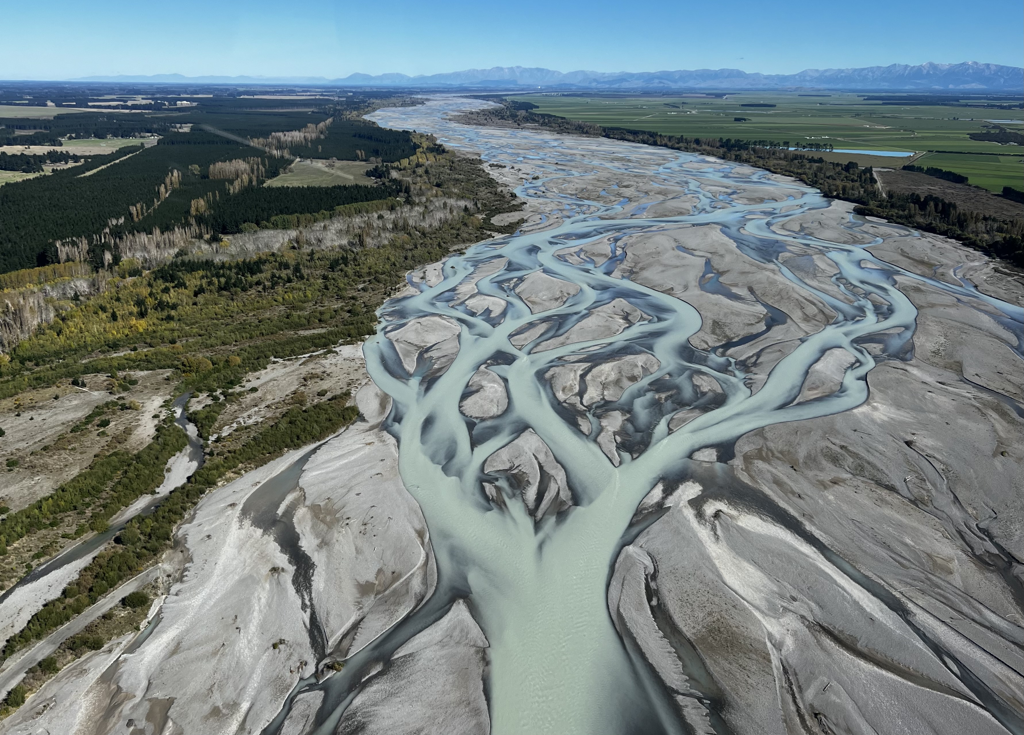
Waimakariri River, New Zealand
I’m a Ph.D. student in Earth and Climate Sciences at Duke University, working with Dr. Sarah Cooley. My research focuses on how climate change impacts the storage and movement of water reserves in alpine and Arctic environments using a combination of remote sensing and field observations.
I earned a B.A. from Middlebury College, completing a thesis using InSAR and optical remote sensing data to quantify rock glacier kinematics in Utah. Before starting my Ph.D., I worked as a research specialist on the calibration and validation team for NASA’s Surface Water and Ocean Topography (SWOT) satellite mission at UNC Chapel Hill. As part of the validation efforts, I surveyed rivers and lakes from New Zealand to Alaska. I’m invigorated by spending time outdoors, allotting summers to sampling water quality parameters for UW-Madison’s Center for Limnology and collecting glaciological data while learning how to tele ski with the Juneau Icefield Research Program. Outside of work, I enjoy looking at maps to plan adventures, mountain biking, and card games.
Waimakariri River, New Zealand
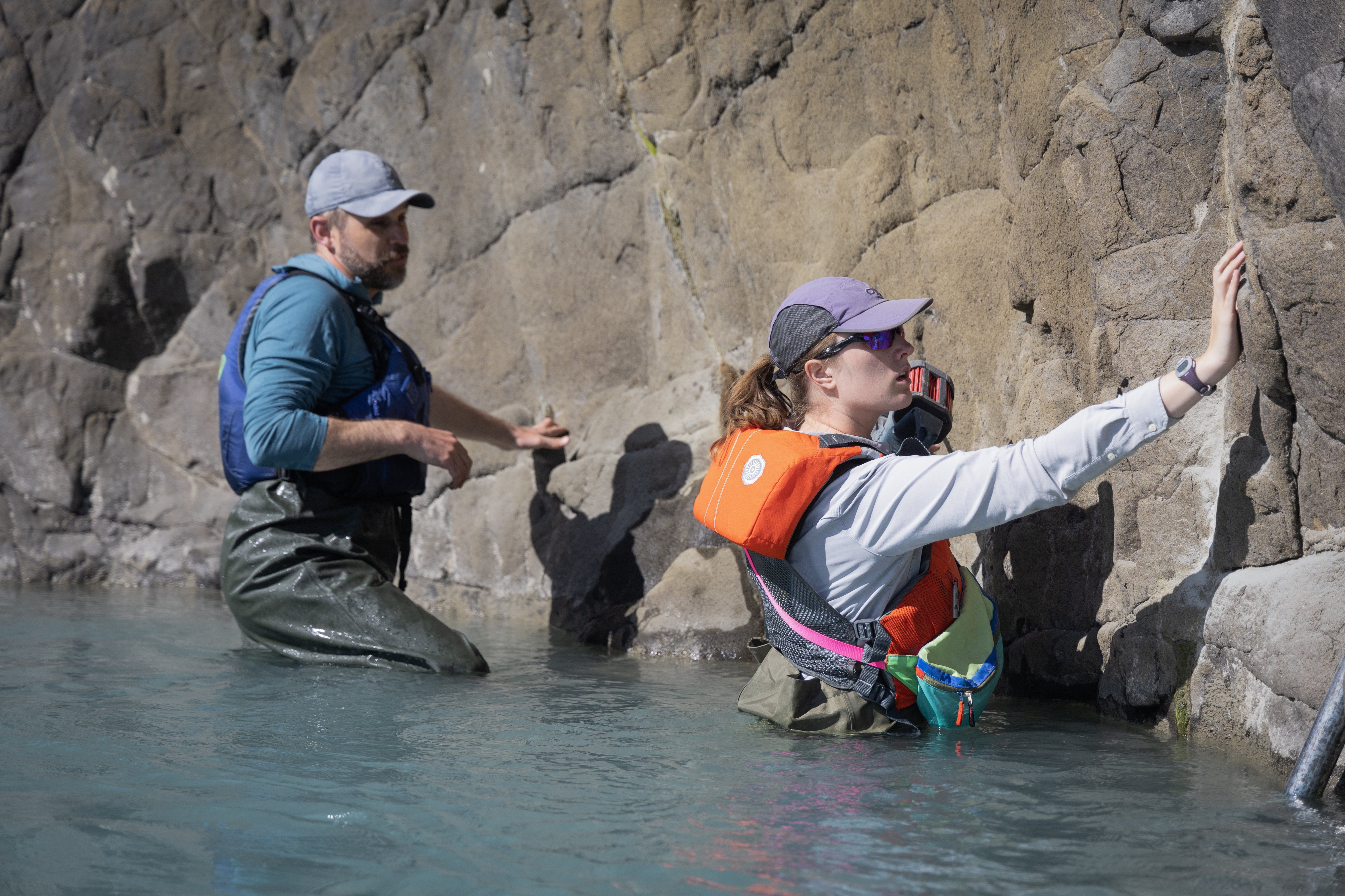
Waimakariri River, New Zealand
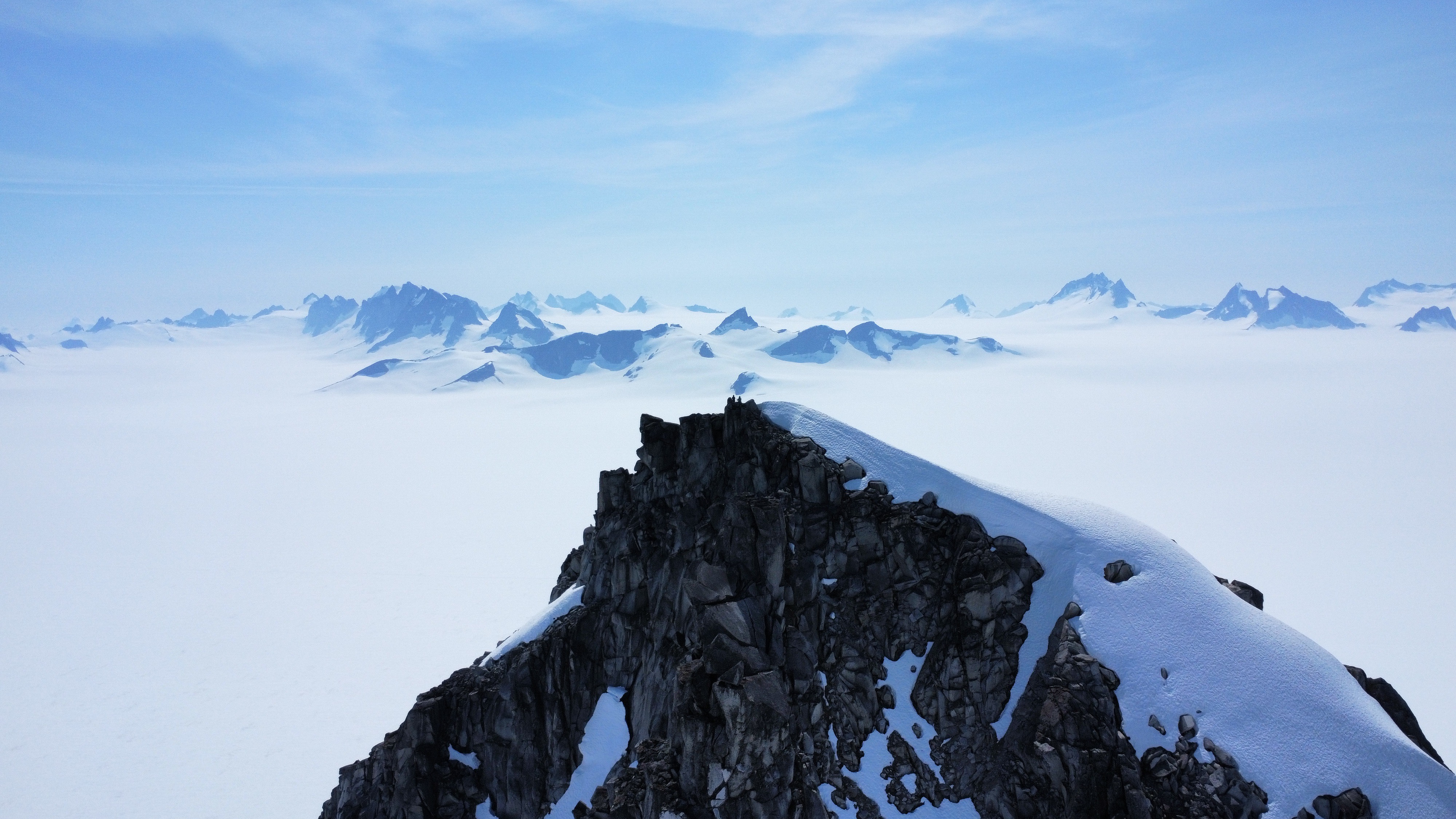
Juneau Icefield, AK
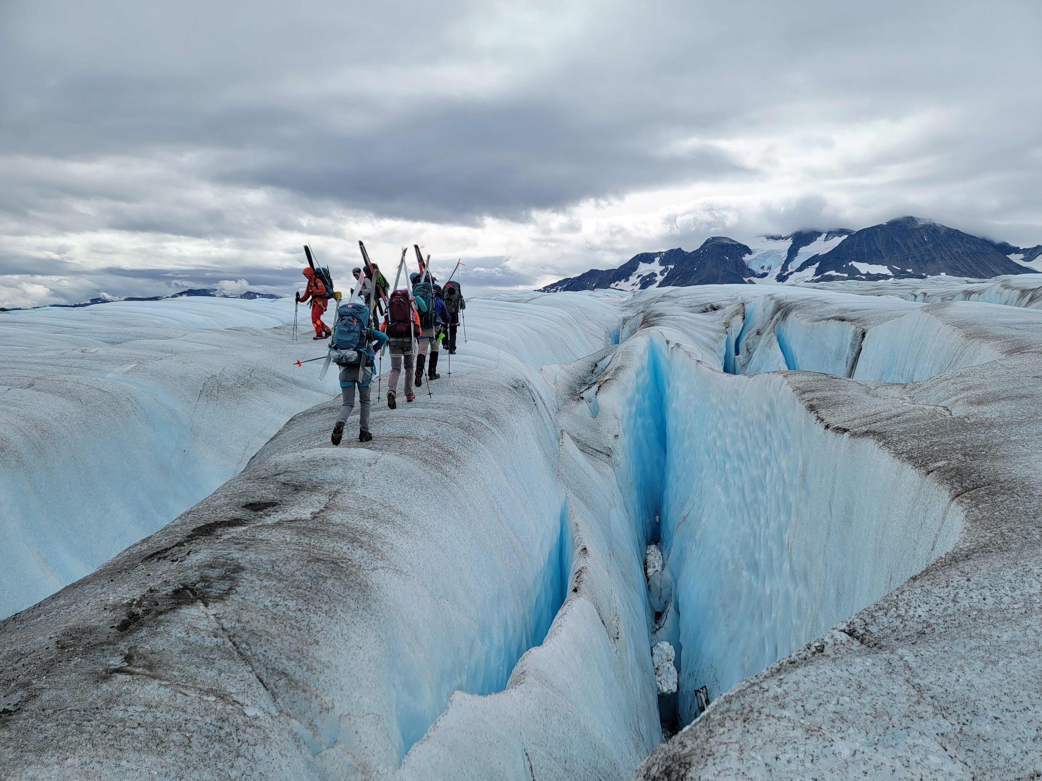
Juneau Icefield, Canada
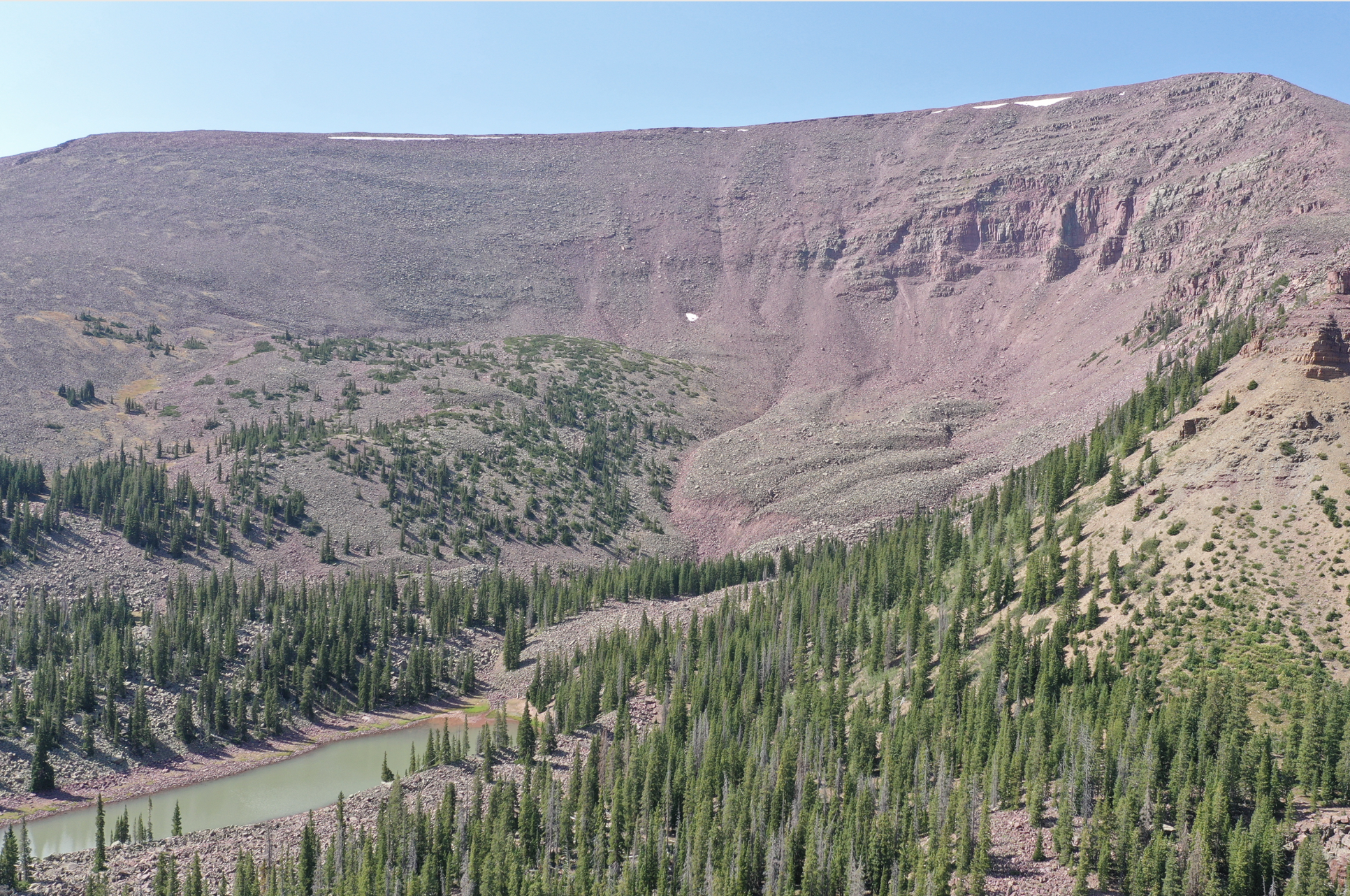
Uinta Mountains, UT
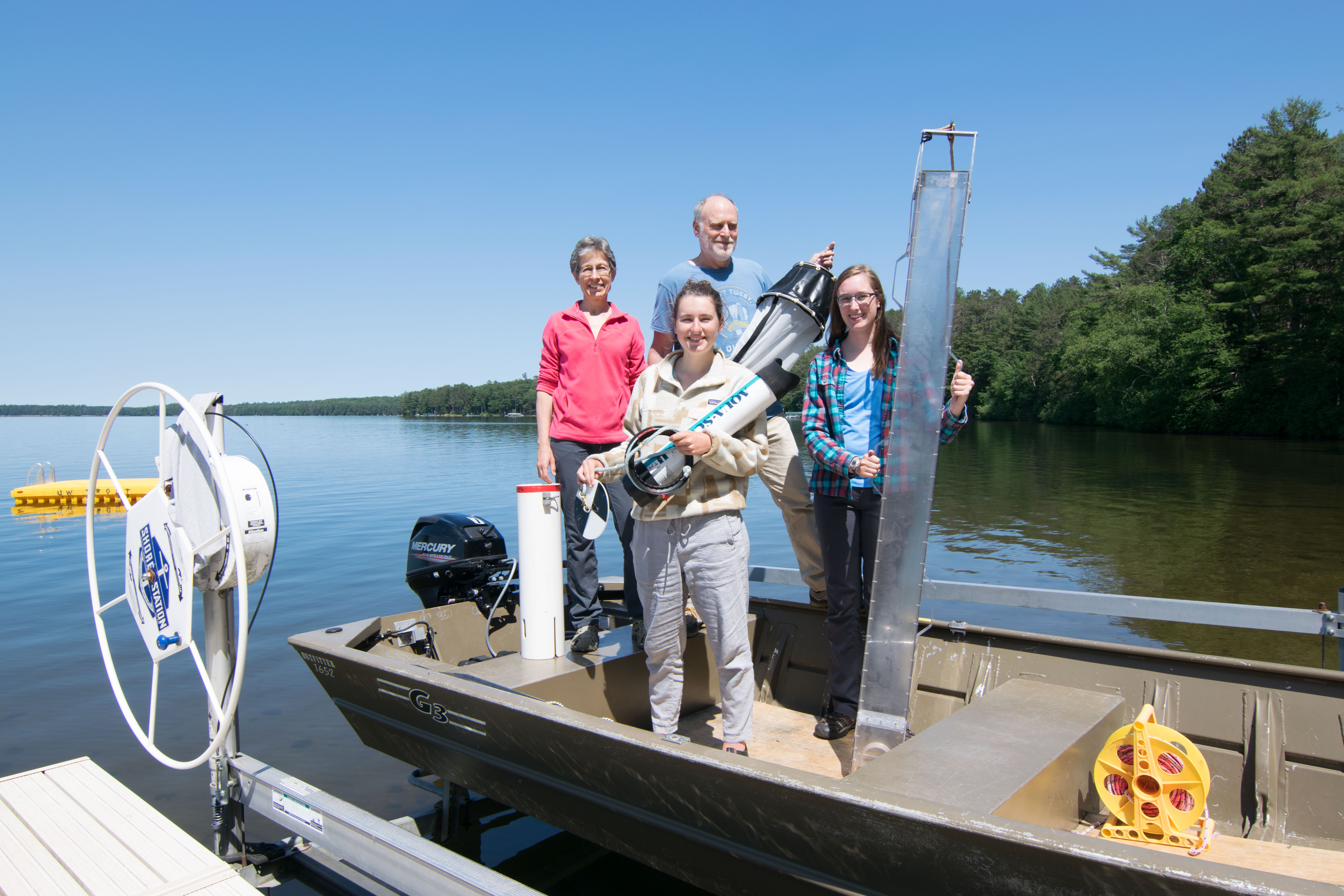
Trout Lake Station, WI